Hämeenkangas

 Western Finland, Satakunta, Pirkanmaa
Ikaalinen, Jämijärvi, Kankaanpä
Area 55 sq.km.
The area is managed by Metsähallitus.
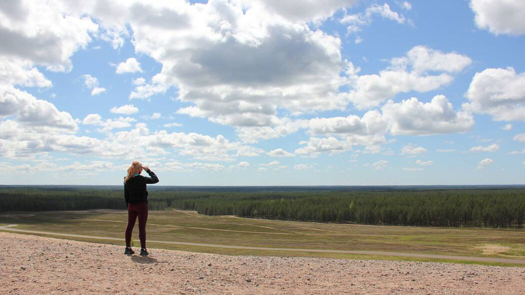
The vast Hämeenkangas ridge area with its surrounding mires is a valuable location due to its natural features and species. The landscape is dominated by ridges covered in pine forest and lichen filled heathland forests. At lower altitudes the terrain is dotted with raised bogs and springs.
High ridge backs, slopes and level heathland forests offer excellent and versatile hiking terrain for those who enjoy exercise. The area's trails occasionally climb to spots with magnificent views of Lake Jämijärvi and over the surrounding forests.
Hämeenkangas is a military training and multi-use area, which was owned by the Ministry of Defence until 2002 when Metsähallitus took over managing it. It is primarily a military training area, and secondly a hiking area. Restricted military areas mean that there are limits on how the area can be used for recreation. Most of the forests in Hämeenkangas are used for commercial forestry, but there are also parts which are protected due to their natural value.
This is the webpage nationalparks.fi/hameenkangas

Customer Service
Metsähallitus
Tel. int. + 358 (0) 206 39 5270 Mon-Fri 9:00-15:00
sisasuomi(at)metsa.fi
Niinisalo garrison, tel. int. +358 (0)2 99800 (restricted military area)

