Top 5 locations for nature photographers in Oulanka

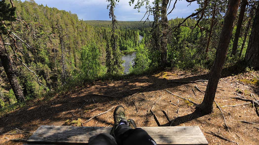
Oulanka National Park is a treasure trove for nature photographers, both in summer and winter. At some scenic locations, a thick layer of snow may be challenging, and some of the destinations are extremely difficult to access. The most popular winter photography locations, due to their easy accessibility, are Myllykoski and Kiutaköngäs, and outside the park, Konttaisenvaara and Käylänkoski.
Kuusamo was already known among nature photographers in the late 19th century, when I.K. Inha visited Lake Paanajärvi in Kuusamo. The books by Hannu Hautala have acquainted today’s nature photographers with Kuusamo. Oulanka National Park offers inspiration for photographers all year round. The scenery features river valleys, great altitude differences, and photography locations with panoramic views situated above tree tops.
1. Kiutaköngäs Rapids, River Oulankajoki, Kuusamo

To see: Perhaps the best-known waterfall in Finland. The site is easily accessible all year round. On crisp and clear mornings in August and September, there can also be mist above the waterfall.
Accessibility: Easily available all year round. Please, do dot enter ice covered river!
How to get there: Kiutaköngäs is about 1 kilometre from the Oulanka Visitor Centre. Location on Google Maps.
2. Oulanka Canyon (Oulangan kanjoni), Salla

To see: A magnificent gorge valley. There are excellent spots for landscape photography on both sides of the canyon. Around noon on a clear summer day, there is a big contrast in lighting between the shady and the sunny side.
Accessibility: Easily available when the ground is unfrozen. Difficult to reach in winter.
How to get there: A two kilometre walk from the Savilampi parking area. Location on Google Maps.
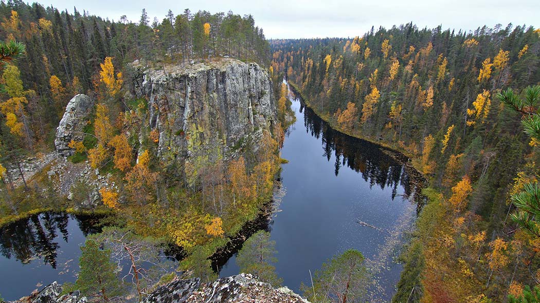
3. Ristikallio Rocks, Kuusamo

To see: A magnificent view towards the Aventojoki river, which flows between vertical rock walls. Around noon on a clear summer day, there is a big contrast in lighting between the shady and the sunny side.
Accessibility: Available when the ground is unfrozen. Difficult to reach in winter.
How to get there: The site is located five kilometres from the Ristikallio (parking area in Sallantie road) starting point of the Karhunkierros Trail. Location on Google Maps.
4. Konttainen Hill, Kuusamo
To see: From the top of the Konttainen hill, there is a great view towards the lakes Purnujärvi and Kantojärvi in the west. The ascent to the top of the hill is fairly demanding. In winter, the trees on the top may be heavily snow-loaded.
Accessibility: Available around the year. The slope is slippery in winter. The ascent to the top takes between 20 and 30 minutes.
How to get there: Starting point is the Konttainen parking area that is located by the Virkkulantie road. Location on Google Maps.
5. Jäkälämutka / Oulankajoki river, Kuusamo

To see: A fine sandy beach in the Oulankajoki river. Catchfly and fringed pink grow at the site in late July. Jäkälämutka is at its best during the summer.
Accessibility: Easily available for June to October. No road maintenance in winter.
How to get there: To reach the site, turn from the Liikasenvaarantie road to the Jäkälämutkantie road from the end of which there is a walk of 500 metres to the beach. Location on Google Maps.
Get the best locations in mobile phone
All the best locations in Hossa, Oulanka, Riisitunturi and Syöte National Parks for nature photographers in Google Maps (google.com).
Create your own hiking story and share it
Write a blog, make a video, collect your photos and share your story with hashtags #landofnationalparks #landofnp #lonp
