


Nature and Sights
Elimyssalo is the very image of typical Kainuu wilderness: wide, diverse bogs and deep spruce forests full of beard lichen, with pine stands, lush stream banks, small lakes and ponds. Among the most famous attractions are the old-growth forests at the heart of the area. Even 90% of the woods are more than 120 years old.
Elimyssalo is known as the area where the wild forest reindeer returning to Finland first settled. All of Finland’s large predators – bears, wolves, lynxes and wolverines – also roam there. If you move quietly in, you may see a swimming beaver or meet a capercaillie or a great grey owl. An inhabitant of the north, the Siberian jay may join a visitor by a campfire. Moreover, in Elimyssalo you may even encounter the red-flanked bluetail (Tarsiger cyanurus).

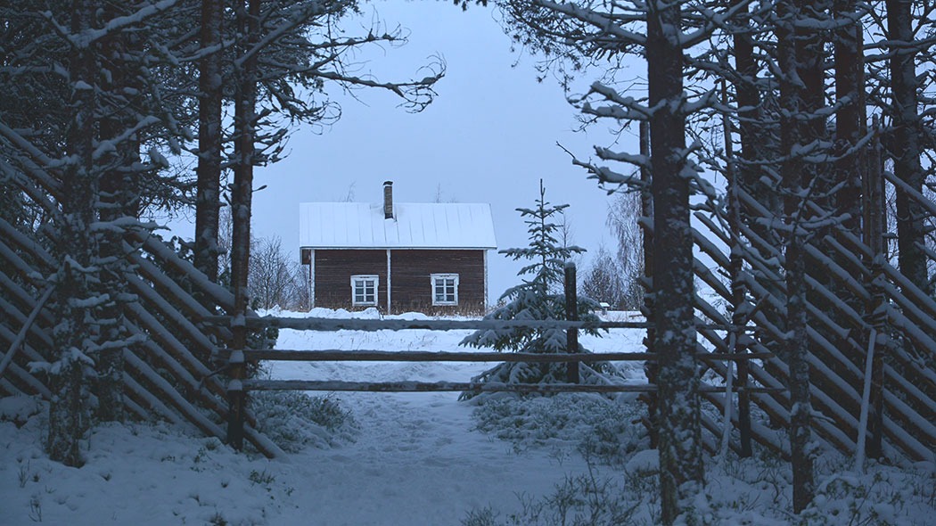
The two old wilderness tenant farms, Levävaara and Latvavaara, paint a picture of the old way of life in remote hill country. Modern man is seen in Elimyssalo as a wilderness enthusiast, berry picker, hiker or nature photographer, but a visitor may be surprised by meeting sheep in Levävaara in summer. Sheep are there to take care of the traditional meadows and their vegetation, and volunteer herders take care of the sheep for a week at a time.

Instructions and Rules
In Elimyssalo Nature Reserve, the following are
allowed:
- Walking, skiing, rowing and canoeing
- Picking berries and edible mushrooms
- Hook and line fishing and ice-fishing. Fishers need to check the restrictions on fishing sites at kalastusrajoitus.fi (In Finnish).

restricted:
- Open flame and camping, which are only allowed in designated places
- Entering the frontier zone requires a permission from the Border Guard. The zone is clearly marked on the maps of the area.
- As a rule, a permit issued by Metsähallitus is required for activities other than those included in everyman's rights, which may include research and organised events. Further information on required permits: research and access permits (metsa.fi) and permits and notifications related to events (metsa.fi).
forbidden:
- Lighting campfires is forbidden also at the constructed campfire sites if the wildfire warning is in effect
- Letting pets run free
- Picking or harming mushrooms (other than edible ones), trees, shrubs or other plants and any parts of the same
- Damaging the soil or bedrock or taking earth or minerals with you
- Catching, killing or chasing wild vertebrate animals, or destroying their nests
- Catching or collecting invertebrate animals
- Driving a motor vehicle beyond the designated roads
- Leaving litter or damaging any constructions
Please note: In northern Finland, hunting is allowed for local people in their home municipality (Hunting Act, Section 8). However, hunting is not allowed in the central core of Elimyssalo.
Trails and Services


Elimyssalo offers about 24 km of marked hiking trails. The rather easy-to-walk, clearly signposted trails take the hiker through a tapestry of mires and heaths. Wetland areas along the trails have duckboards. There are two old wilderness farms along the trails, Levävaara and Latvavaara. In summer you may meet sheep and their herders in Levävaara.

Saari-Kiekki - Levävaara, 1.5 km
- The easiest and shortest trail to meet the sheep in Levävaara begins from the Saari-Kiekki parking area. The distance from there to the Levävaara farm is some 1.5 km. In about midway, there is the Saari-Kiekki lean-to shelter with a fire making place.

Levävaara - Latvavaara, 2.5 km
- The trail from Levävaara to Latvavaara is marked in the terrain with yellow paint. You can start the trail at the Saari-Kiekki parking area or along Juntintie Road. The trail can also be walked as a circular route, in which case you walk part of it along Juntintie Road and the road leading to the Saari-Kiekki parking area. The total length of the trail will then be about 7 km.

A Trail Round Lake Elimysjärvi, 13 km
- The trail marked with red paint goes from Saari-Kiekki round Lake Elimysjärvi and back. It gives you a view to the typical landscape of the area: the mosaic of old growth forests and mires.
- You can also begin the trip from the northern parking area in the direction of Viiksimo. The trail from there to Lake Elimysjärvi is about 5 km and about 8 km to Levävaara.

Connection trail:
The trail crossing the area and leading northwest takes you to the direction of the Iso-Palonen - Maariansärkät Nature Reserve.

Services:
Along the trails there are two lean-to shelters with campfire sites: Saari-Kiekki in the southern part of the area and Saunaniemi by lake Elimysjärvi.
Note:
Please, follow the outdoor etiquette.
Remember to take your rubbish back to an appropriate waste disposal point.
Don’t forget to take drinking water with you.
Directions and Maps
The Elimyssalo Nature Reserve is located some 60 km from Kuhmo. It cannot be reached by public transport.

By Car
Elimyssalo has two starting points for hiking trails, the southern one at the Saari-Kiekki parking area and the northern one at the Viiksimo parking area.
- To reach the southern Saari-Kiekki starting point for the hiking trail, take the road Hukkajärventie (No. 9121) from the centre of Kuhmo and drive 42 km eastwards, after which you should turn left (to the north) to Juntintie Road. Drive 13 km and turn right (to the east), following the signposts to the Elimyssalo Nature Reserve. The parking area is at the end of a 1-km long forest road.
- In winter, the Juntti forest road is not ploughed if Metsähallitus is not cutting down trees near Elimyssalo.
- To reach the northern Viiksimo starting point, take the Suomussalmi road (No. 912) and drive north for about 30 km, after which you should turn right to Viiksimontie Road. After about 30 km, you will reach an old border guard station. Turn right to the forest road. After about a kilometre, there is a signposted forest road turning right (to the south). The starting point for the trail is located at the end of the road.
- Viiksimontie Road is ploughed in winter, but the forest road leading to the northern starting point for the Elimyssalo hiking trail is not ploughed.
- The road between Juntinvaara and Juntinsalo in the northwestern part of Elimyssalo, shown in older maps, has been cut off.
Maps
The Elimyssalo Nature Reserve extends to the border between Finland and Russia. You are not allowed to enter the frontier zone without permission from the Border Guard. The zone is clearly marked on the maps of the area.

Excursionmap.fi is a free map service provided by Metsähallitus. It can be used to search destinations, choose map layers and print maps.
Elimyssalo Brochure

Outdoors in Kuhmo Brochure


Outdoor Etiquette

1. Respect nature.
2. Mainly use marked trails.
3. Camp only where it is allowed.
4. Light your campfire only where it is allowed.
5. Do not litter.
Check for Warnings
 When forest and grass fire warnings (en.ilmatieteenlaitos.fi) are in effect, fire is only allowed at covered campfire sites that have a flue. A fire can be also lit in fireplaces at wilderness and other huts. Always use extreme caution when handling fire. The one who lights a fire is always responsible for its safe use. Please note, that making fire at these campfire sites can be banned locally.
Gathering at the campfire sites increases the risk of coronavirus infection. Guidelines concerning coronavirus COVID-19.