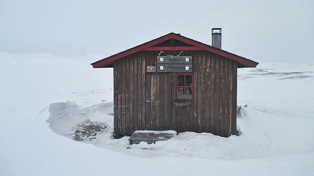
Goapmajohka (Kopmajoki) Open Wilderness Hut

Type

Open wilderness hut for 6 persons

Location, Maps and Description

Northern Lapland Region, Municipality of Enontekiö (enontekiolapland.com), Käsivarsi Wilderness Area

Goapmajohka (Kopmajoki), coordinates: Euref-Fin (~ WGS84) lat: 69° 16.1922' lon: 21° 29.8029'  ETRS-TM35FIN: N: 7694217 E: 282851 

The wilderness hut is situated by Nordkalott Trail on the west side of Seitalompolo on the bank of the River Kopmajoki.

Nordkalott Trail map
Other maps of the area
Excursionmap.fi

Facilities

A stove and a gas cooker. A dry toilet and a woodshed outside the hut. 

Notices

Pets are permitted in the hut, but only in case that other visitors agree with it.

Visitors must come prepared with warm clothing, food, drink, maps, compass, orienteering skills and matches. Fog or storms can form in just a few hours. Take also your own toilet paper.

Safety on hiking

Waste Management

Metsähallitus follows the principles of litter-free hiking. Visitors are adviced to bring their own waste out of the area. Recycling points can be found at Yllästunturi, Pallastunturi and Fell Lapland Visitor Centre. Read more about hiking without Littering.

Maintenance and Management

Metsähallitus, Parks & Wildlife Finland. For more information contact Fell Lapland Visitor Centre, tel. int. +358 206 39 7950.

For Entrepreneurs

Tourist entrepreneurs operating in national parks or other areas managed by Metsähallitus need a cooperation agreement. A fee is charged for using the routes and service infrastructure for business activities.

A hand holding a mobile phone showing Excursionmap.fi. Open the map of Kopmajoki hut in Excursionmap.fi.

Guidelines on using Open Wilderness Hut

Read Guidelines on using Day-use Huts.

Outdoor Etiquette

A cartoon picture of a family walking on a summer path.

1. Respect nature.

2. Mainly use marked trails.

3. Camp only where it is allowed.

4. Light your campfire only where it is allowed.

5. Do not litter.

Read more