Karhunkierros Trail Level of Difficulty

To hike Karhunkierros Trail you do not have to have much wilderness trekking experience or excellent orienteering skills, but you should know the basics about hiking and have basic survival skills. A good way to start off is by reading the trail description and getting the area's map. One map which is useful is the Rukatunturi-Oulanka outdoor map 1:50 000.
The trail is not accessible as the terrain is hilly and there are sets of steps.
Summer
A suitable speed to hike at is approximately 3 km per hour. Here are the recommended times for each section of the trail:
- Karhunkierros Visitor Centre - Oulanka Visitor Centre, 28 km, 2 Days
- Ristikallio starting point (Sallantie parking area) - Oulanka Visitor Centre, 18 km, 1-2 Days
- Oulanka Visitor Centre - Village of Juuma, 31 km, 2 Days
- Village of Juuma - Rukatunturi Fell, 23 km, 2 Days
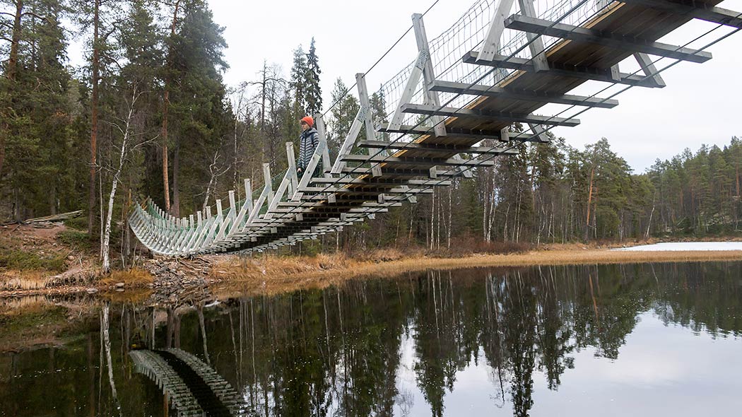
Wet spots along the trail have duckboards. You do not need to wade across any rivers along this trail, as there are hanging bridges across all of them.

Winter
A section of Karhunkierros Trail is also in winter use. A 26-km-long winter trail from Oulanka Visitor Centre to the village of Juuma is maintained from February to April (if there is enough snow in the area). It is called the Oulanka wilderness trail. The trail is demanding as there are narrow and steep descents.
- For more information contact Oulanka Visitor Centre - Tel. int. +358 206 39 6850.
- More information on cross-country skiing in Kuusamo (ruka.fi) in Kuusamo (ruka.fi).
Other Information
- Cycling is only permitted on roads and on the designated trail from Oulanka Visitor Centre to Taivalköngäs (9 km/direction).
- If you plan on hiking with a pet you should take into consideration that there are hanging and other bridges that pets may refuse or be unable to cross. Keep your pet on a leash. Pets are allowed in open wilderness huts. More information can be found on Instructions and Rules of Oulanka National Park.
