Syöte Brochure
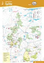
Pdf-file 4.2 MB (julkaisut.metsa.fi)
Syöte summer trails
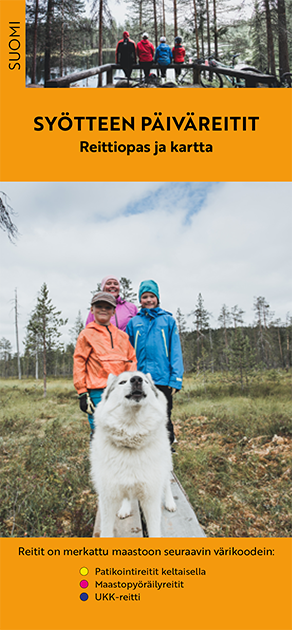
Syöte summer trails in finnish (pdf 5,2 Mt, julkaisut.metsa.fi)
Other Maps


Excursionmap.fi is a free map service provided by Metsähallitus. It can be used to search destinations, choose map layers and print maps.