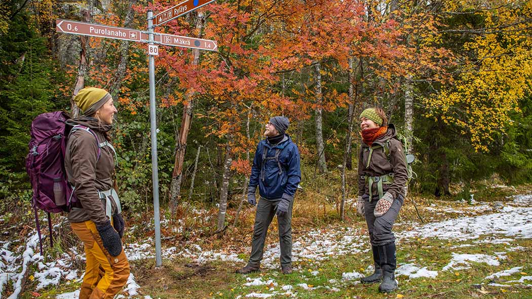
Herajärven kierros Trail Route Description
We recommend taking the Herajärven kierros Trail as a circular trail. The total length of the trail is 61 km. The northern end of the trail is 35 km, the southern section is 30 km, and the trails share a section of 4 km between Kiviniemi and Lakkala.
The route is enlivened by rocky hilltops, shady herb-rich forests and cultural landscapes. Hikers can stop at old farmyards, open fields or birch forests and catch a glimpse of the local history. The trail is demanding due to the differences in altitude, but if you are into even more challenging exercise, you can always increase your speed.

Starting Points for Excursions
You can choose the walking direction as you prefer. The recommended starting and finishing points are:
- Koli Nature Centre Ukko, Ylä-Kolintie 39 – entire trail or the northern trail
- Kiviniemi farm (facebook.com, in Finnish), (Mustalahdentie 27, Kontiolahti) – all trail options
- Eteläpää parking area, Eteläpääntie (Eteläpääntie 113, Kontiolahti) – entire trail or the southern trail
Trail Markings
- The trail is signposted and marked with blue paint dots.
Trail Sections
Northern Herajärven kierros Trail 35 km
- Koli Nature Centre Ukko - Ryläys parking area 6.2 km
- Ryläyksen pysäköintialue - Kiviniemi 12.6 km
- Kiviniemi - Lakkala 4 km
- Lakkala - Havukanaho 7.1 km
- Havukanaho - Koli Nature Centre Ukko 5.6 km
Southern Herajärven kierros Trail 30 km
- Kiviniemi - Lakkala 4 km
- Lakkala - Rykiniemi 5.8 km
- Rykiniemi - Suopelto 5.2 km
- Suopelto - Eteläpää 7.1 km
- Eteläpää - Kiviniemi 8.8 km
Connecting Trails
Hiking Trails
- The E10, a European long-distance hiking trail, runs through Koli National Park. The UKK Trail between Koli and Vuokatti runs from Ukko-Koli Hill to the north. All of Koli National Park's main trails connect to the Karelian Circuit trail network.
Canoeing Routes
Biking Trails
- The Finnish national biking trail no. 6 that runs on unpaved roads passes by the Koli National Park area near Koli village.
Riding Trails
- Paimentupa farm organises riding excursions in Koli National Park and the nearby areas.
Cross-country Skiing Trails
Snowshoe Walking Trails
- There are marked snowshoeing trails in Koli National Park.


