Näkkälän Välitupa Open Wilderness Hut. Photo: Elina Tukiainen.

Näkkälän Välitupa Open Wilderness Hut. Photo: Elina Tukiainen.

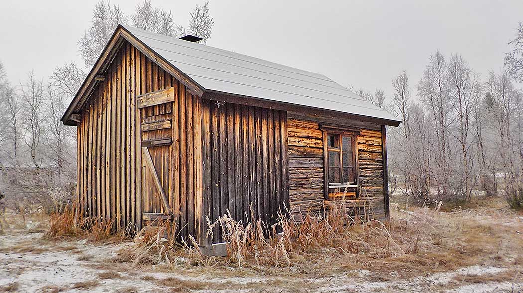
Neakkela Gaskastohpu / Näkkälän Välitupa Open Wilderness Hut. Photo: Saija Keskitalo.

Näkkälän Välitupa Open Wilderness Hut. Photo: Elina Tukiainen.

Outdoor Etiquette

1. Respect nature.
2. Mainly use marked trails.
3. Camp only where it is allowed.
4. Light your campfire only where it is allowed.
5. Do not litter.